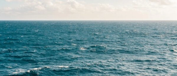
Our oceans are rapidly changing due to human activity and climate shifts, making precise biodiversity monitoring essential.
The “Marine Sentinel Areas” (AMS) network is a multi-stakeholder program ensuring long-term coastal biodiversity tracking in France. It tackles three key challenges:
- Early detection of ecological disruptions;
- Assessment of conservation efforts like Marine Protected Areas (MPAs) and restoration projects; and
- Better prediction of ecosystem dynamics.
Why this matters?
Coastal ecosystems are highly vulnerable yet crucial for biodiversity and human livelihoods.
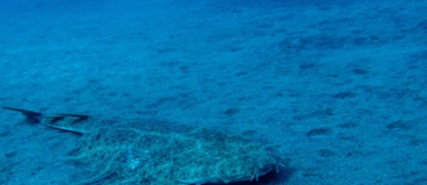
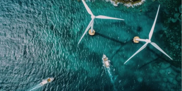
The “Marine Sentinel Areas” (AMS) network offers a structured, science-based approach to monitor key coastal sites – such as marine reserves, offshore wind farms, artificial reefs, and entry points for non-native species – allowing early detection of threats like pollution, climate change, and invasive species.
By tracking biodiversity trends, it evaluates conservation efforts, ensuring Marine Protected Areas and restoration projects deliver results.
Using eDNA technology, researchers collect high-quality data with minimal ecological impact, ideal for fragile habitats. With a vast species reference database, AMS helps identify ecosystem shifts, supporting better decision-making for policymakers, conservationists, and stakeholders.
By fostering collaboration and data-driven insights, it strengthens marine biodiversity protection for future generations.

Location: French coast.
Ecosystem: Coastal.
Depth: 12-25 m
Sampling method: via two 30 liter filters on 38 non-overlapping 2 km transects (in 13 sentinel areas), using two peristaltic pumps on each side of a ship (surface).
Taxonomic group: mammals, fishes and crustaceans, using Vert01, teleo and Pleo primers, respectively.